Navigation By Satellite
Navigation By Satellite
Satellite-based navigation has become a global utility with enormous daily benefits to people on the ground in a wide variety of areas such as aviation, maritime and land transportation, mapping and surveying, precision agriculture, power distribution and communications networks, as well as disaster warning and emergency response.
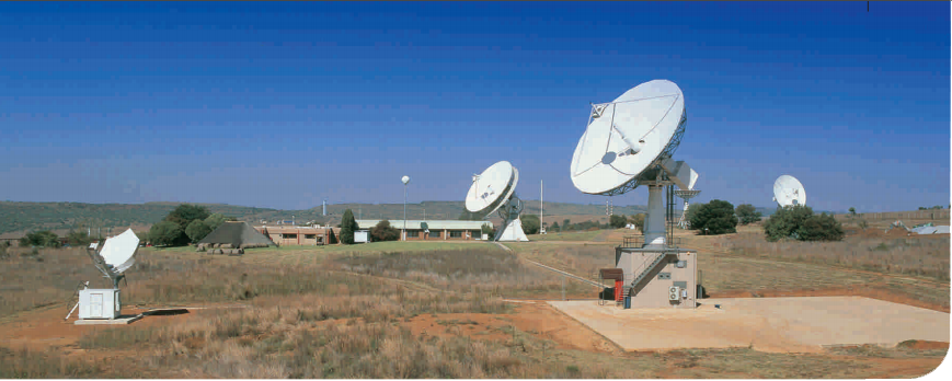
Navigation satellite systems comprise a constellation of satellites in orbit, where several satellites are simultaneously visible from any given point on the Earth at any given time. Each satellite emits signals on different frequencies that can be detected by a receiver on the ground, and the combination of these signals yields time and position information.
There are a number of navigation satellite systems either already in operation or in planning stages and which are collectively known as Global Navigation Satellite Systems (GNSS). The major systems in operation at the moment include the U.S. Global Positioning System (GPS), with more than 30 operational satellites and a similar Russian system known as Global’naya Navigatsionnaya Sputnikovaya Sistema (GLONASS). These systems are soon to be joined by the European Galileo system, the Chinese Beidou / Compass system, the Indian Regional Navigation Satellite System (IRNSS) and the Japanese QZSS further extending the benefits of GNSS to people on the ground.
The atomic clocks in GNSS satellites provide timing for the Internet, cellular phone networks, ATM networks, power distribution and other networks where a reliable, precise time standard is necessary. By combining GNSS data with satellite images and computer mapping techniques, we are better able to identify and manage our natural resources. Navigation satellites together with communication satellites are used to track fishing vessels and vehicles transporting hazardous materials.
Businesses with large amounts of mobile assets can manage their resources more efficiently thus reducing consumer costs. In future, intelligent vehicle location and navigation systems will allow us to avoid congested freeways and find more efficient routes to our destinations, saving fuel and reducing air pollution.
Earth. Navigation satellites are even used to support navigation in space by other satellites.